Geosciences are at the heart of tomorrow’s societal and environmental challenges: resource availability, environmental protection, risks connected with the climate change, and new resources for the energy transition. With our expertise in multiple areas, we cover the whole range of surface and subsurface studies.
DATA MANAGEMENT
Managing and optimising geoscience data
● Vectorization, transcription, loading, harmonisation, quality control and archiving of geoscience data (seismic cross-sections, well logs, mapping, documents, GIS, geochemistry, reservoir).
● Compiling GIS databases.
● Drawing value from the data with contributions from Data Sciences.
ZOOM IN ON EXPERTISE
DATA ACQUISITION
Taking action at every step to ensure and check measurement quality
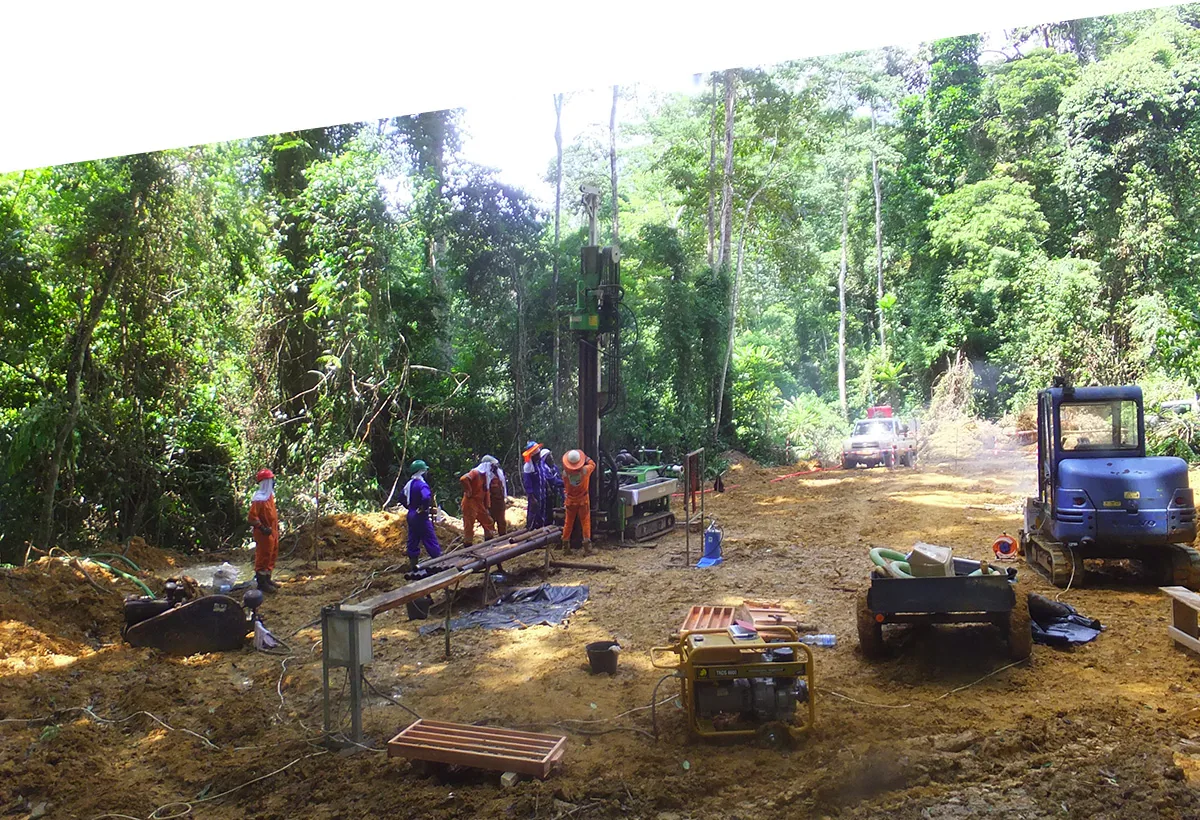
● Field geological and geochemical mapping; sampling.
● Wellsite geology on drilling campaigns.
● Supervision of geotechnical and geophysical acquisition.
● Airborne acquisition of geophysics data (LiDAR, gamma ray spectrometry, etc.).
● Survey design for geological, geophysical, hydrogeological and reservoir data acquisition.
● Laboratory-based petrophysical and geochemical measurements.
PROCESSING
Applying optimal sequences to harness the best information
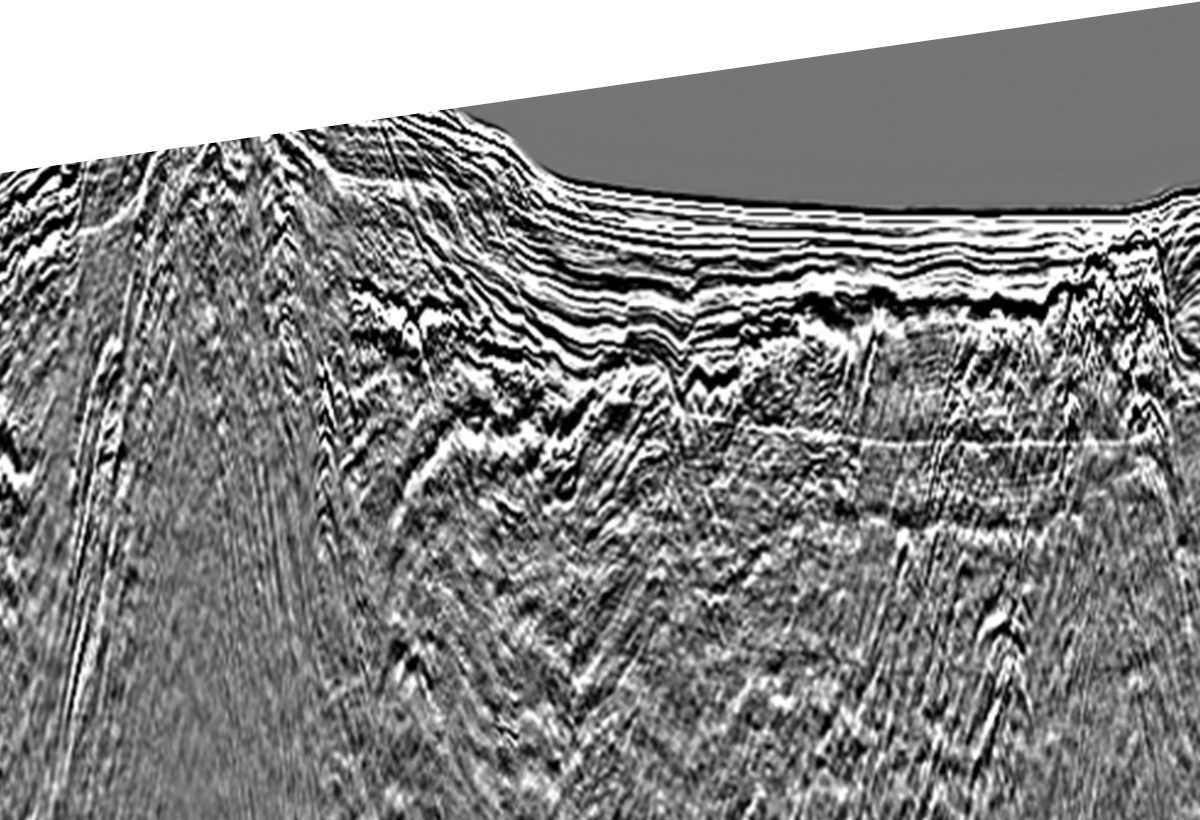
● Seismic processing, reprocessing, inversion.
● Potential Fields Methods data processing.
● Geophysical, geological, remote sensing data processing and/or inversion.
INTERPRETATION AND MODELLING
Supplying expertise in order to analyse, understand and predict
● Interpretation of geological, geophysical, reservoir, geochemical, petrophysical, geomechanical, hydrological, hydrogeological and geotechnical data.
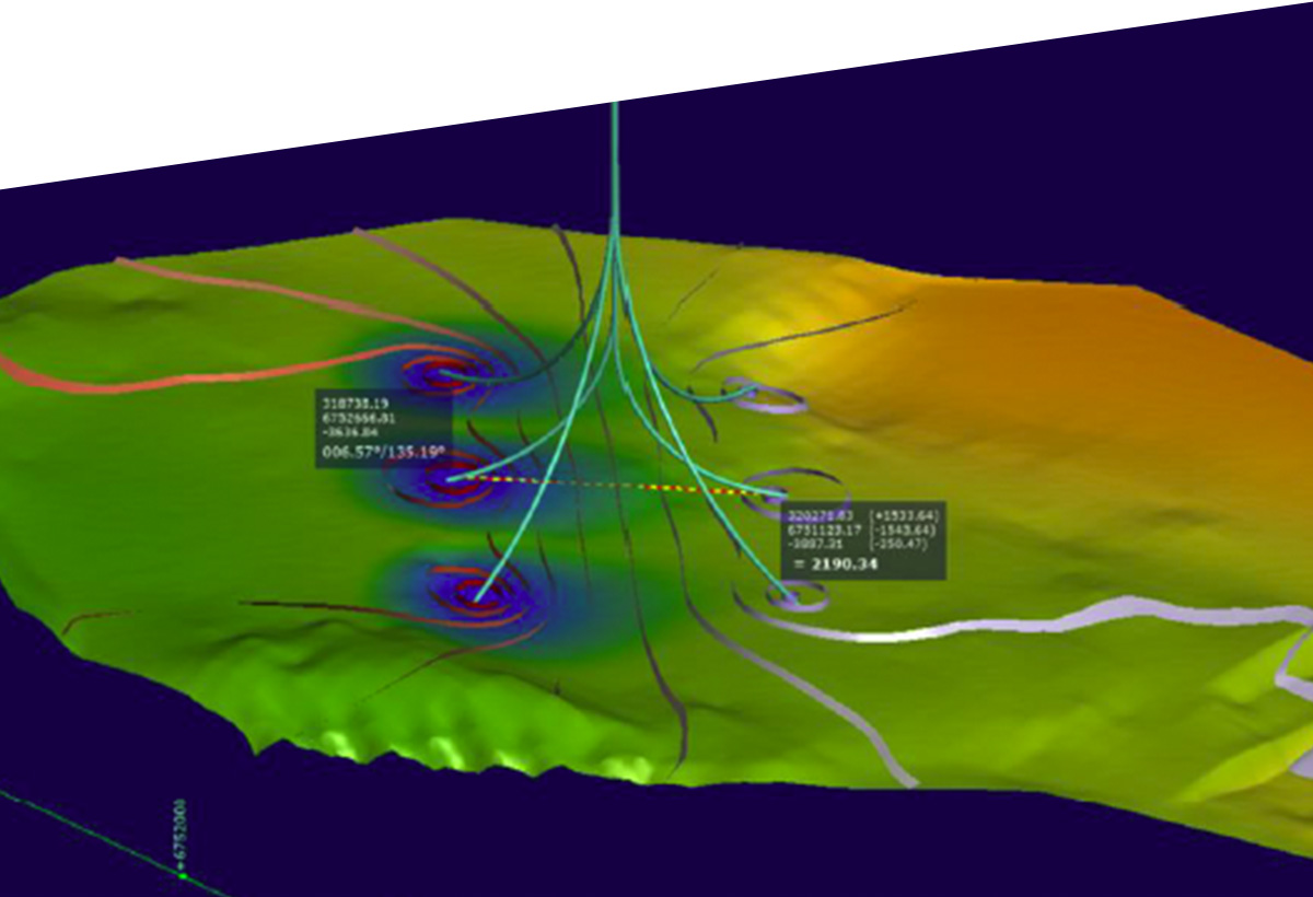
● Various types of modelling: basin (stratigraphic, structural, oil/gas system), reservoir (static and dynamic), hydrogeological, geothermal and geochemical.
● Scientific computing: numerical modelling of physical and chemical phenomena.
ZOOM IN ON SOLUTIONS
EXAMPLES OF DELIVERABLES
Conducting geoscience reviews
Evaluation of resources / reserves
Resource exploration / evaluation / production: oil, mines, geothermal energy, natural hydrogen
Water resource assessment, management and protection
Reservoir characterisation, monitoring and production optimisation
Environmental study, impact study / contaminated soils assessment, remediation
Near surface characterisation using geophysical and geotechnical methods
Natural risks assessment
Numerical simulation using CFD (Computational Fluid Dynamics)
→ Environment
→ Site Survey
→ Deep Geothermal Energy
→ Natural Hydrogen
→ Mines and Quarries
→ Oil and Gas
→ Water Resources
→ Natural Risks
→ Contaminated soils & sites
→ Underground Storage
DISCOVER
Some of
our references

Geothermal Energy: hydrodynamic and thermal modelling
Solution applied
Thanks to a temporary contract, swift secondment of a seasoned hydrogeologist specialising in geothermal work.
Details
● Hydrodynamic and thermal modelling.
● Participation in the geoscience studies.
● Participation in drilling campaign preparation/monitoring.

Monitoring of a drilling / surveying campaign for mining exploration
Solution applied
secondment of 2 mining geologists on international contracts.
Details
In 6-week rotation:
● Geological Follow-up;
● Logging;
● Sampling;
● Managing the local teams.

Promote Oil & Gas Exploration Opportunities at Regional Scale
“CVA’s ability to integrate complementary strands of expertise was the key element ensuring success”
Bernard C., structural geologist with 40 years’ experience
Solution applied
Integrated study
Details
● Reprocessing of seismic data, and interpretation of the structural geology to evaluate the exploration possibilities.
● Large quantity of data available and very tight deadlines.


