A full range of services for acquiring multi-physics data


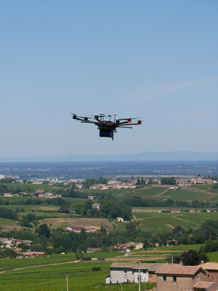
To meet our clients’ needs regarding surface and underground studies, we propose multi-physics data acquisition (through LiDAR, magnetism, gravimetry, gamma ray spectrometry, etc.) using any type of carrier: surface or airborne (drones).
Each acquisition offer features operational, geological and geophysical expertise, all contributing to optimal deployment of the technology.
Thanks to mastery of every link in the acquisition chain, with no need to bring in subcontractors, the methods can be blended in order to optimise costs and boost the added value of the deliverables.
Radiometric survey
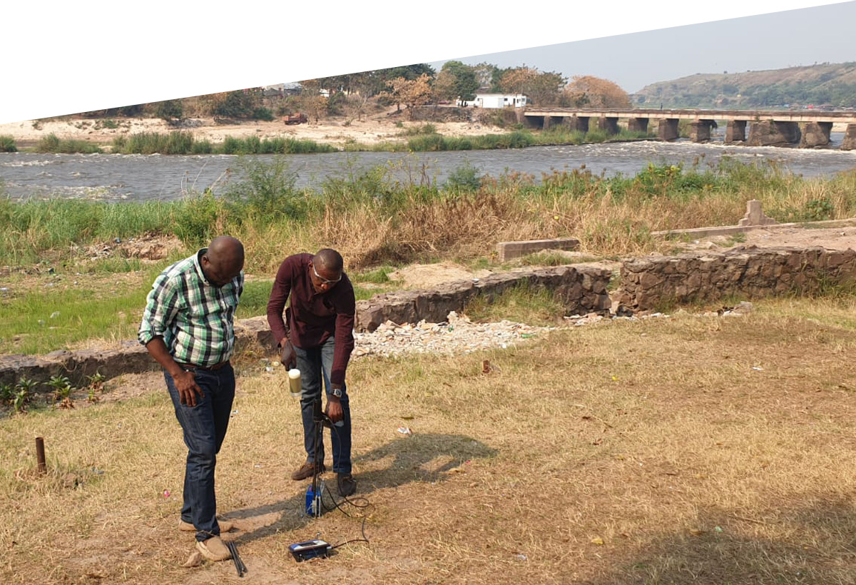
Gamma ray spectrometry sensors provide the means to conduct geochemical investigations to a depth of one metre. Calibrated to field observations and measurements, they are used to create geological, pedological (soil) and geotechnical maps that offer added value for a variety of sectors such as geotechnical work, mining exploration, agriculture and vine-growing.
Topographic surveys
Mounted onboard drones, LiDAR sensors can conduct a topographic survey of the land areas. The LiDAR data may be useful for characterising the vegetation cover and the landforms underlying it. These data contribute precise geomorphological information, useful for characterising geological outcrops and interpreting the land structure.
Magnetism
Onboard sensors serve to measure magnetic field strength, for improved geological characterisation (petrography and structure). The acquisition modes are tailored to the size of the targeted objects responsible for disturbances in the magnetic field. The sensors are useful for detecting magnetic clusters of interest for mining and characterising the deep structures.
Gravimetry
Relative gravimeters quantify disturbances in the gravitational field, influenced by variations in the densities of the materials present and in their spatial distribution. Bouguer gravity anomaly maps and residual gravity anomaly maps are used to characterise the deep structures. They are especially useful for prospecting massifs of saliferous rock.
Processing and geological interpretation: producing high-resolution maps and evaluating the resources
The geophysical data are combined with calibrations at the surface (drilling and sampling; geophysical and geomechanical measurements) to produce high-resolution geological or pedological maps, or thematic maps; for example:
● Resource exploration
● Agronomy
● Geotechnical
● Pollution, etc.
In the context of resource exploration, the results are integrated into the existing data (geological or seismic knowledge, drilling, production data, etc.) to create static and dynamic models, in order to evaluate the resource and propose scenarios for exploration and exploitation.
Contacts

Christophe RIGOLLET
Christophe is a geologist and holds a PhD from Mines ParisTech (the Paris School of Mines). He has worked by turns for TOTAL, ENGIE, BRGM (France’s reference Earth Science institution) and SGS Horizon. He joined CVA Group in 2016 as a Geoscience manager responsible for integrated studies. In parallel, he is the Director of the “GIS Geodenergies” research consortium which focuses on new energies.
Plus points

INNOVATION
Blending methods to boost the added value of the deliverables.

OPTIMISED COSTS
CVA strives to provide an optimal response to its clients’ needs while controlling costs.

AGILITY
Drones enable easier, faster implementation in any environment.

EXCELLENCE
Combining the best experts with high-tech materials and software to develop highly competitive methods.
DISCOVER
Example
cases

Geotechnical evaluation: geological mapping of a linear distance stretching thousands of kilometres
“In the space of a few months we ran a thrilling research and innovation project that has now been used in pilots in a range of geological contexts. Our teams had the seed of the idea less than a year ago, and the result is already up and running in a large-scale commercial project!”
Johann D., Geotechnician
We have developed an original method for characterising the geomechanical properties of land over long distances. By combining LiDAR data acquisition, gamma ray spectrometry and targeted penetrometric measurements, we can generate data for 150 km per day.
The result is a geological and pedological map enhanced with data on mechanical properties, in a GIS format that can be utilised as-is by the product owner.

Exploring the resource of natural hydrogen, with a view to decarbonising the energy mix
“Natural hydrogen potential cannot be evaluated using the standard methodologies. It calls for inventive strategies, innovation in the technologies, and a multi-discipline approach as the number one rule.”
Charlotte L., Geologist
CVA is particularly engaged in developing suitable methods of exploring for hydrogen, and has discovered, in the Bresse Graben, an exceptional site where the hydrogen concentration exceeds 1500 ppm, as measured by our partner 45-8 Energy.
Other projects under way, notably on the basaltic plateaus of Djibouti, provide opportunities for us to adapt the exploration strategies for a variety of geological contexts.

